Dumas Sea Face Masterplan
Surat, Gujarat, India
Ecologically Integrated Civic Sea-Front Destination to Enhance Socially Vibrant City
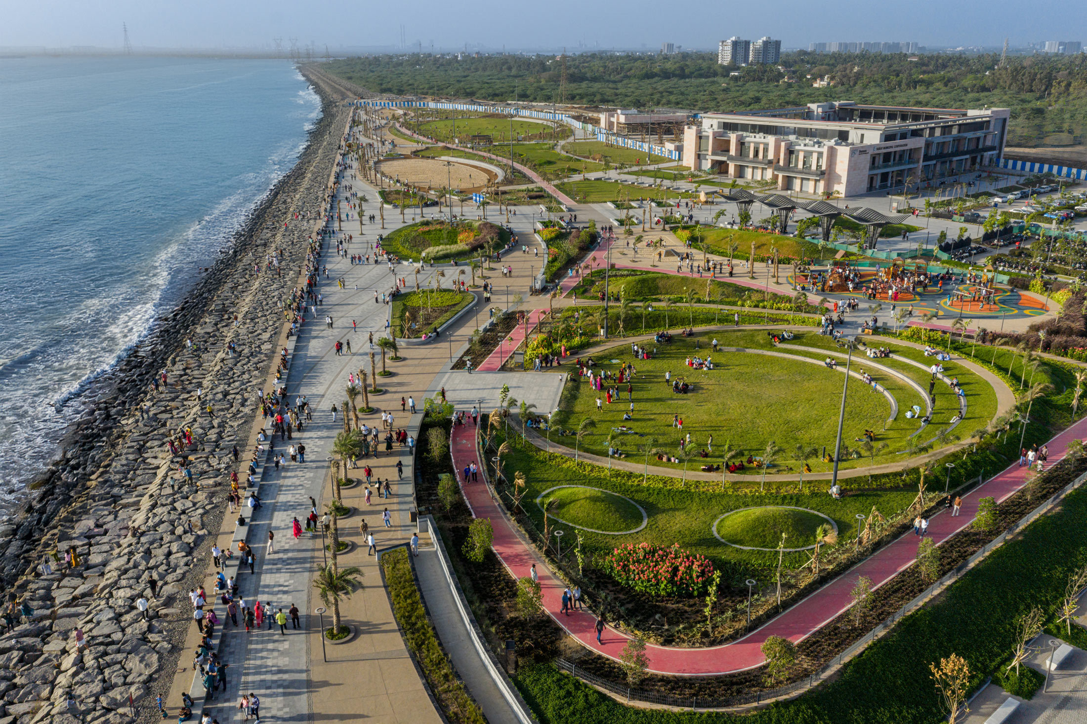
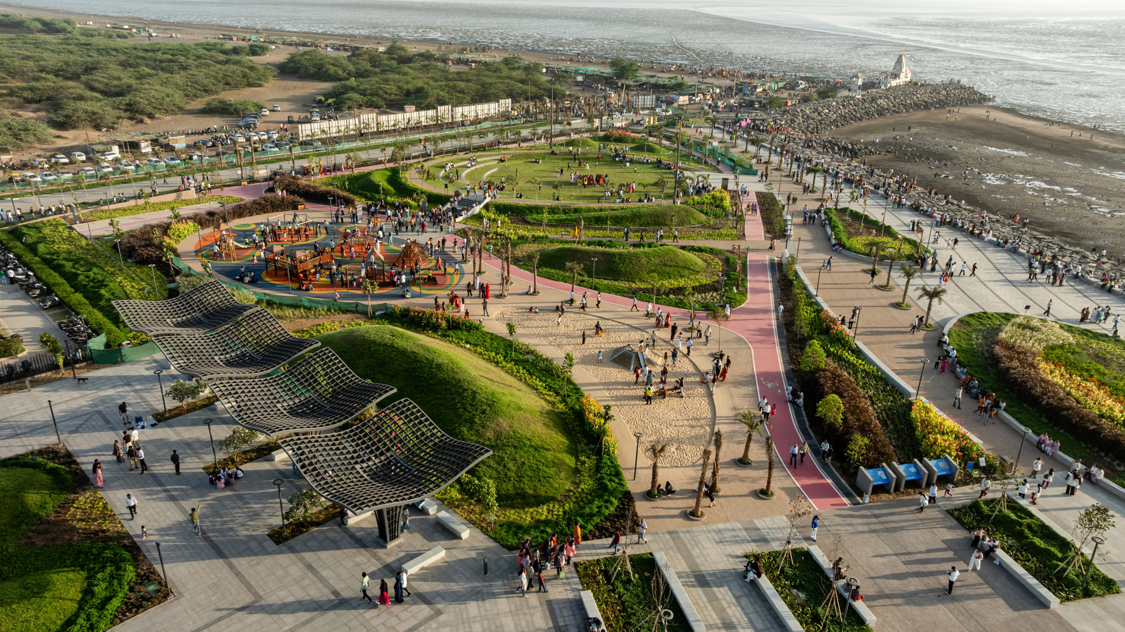
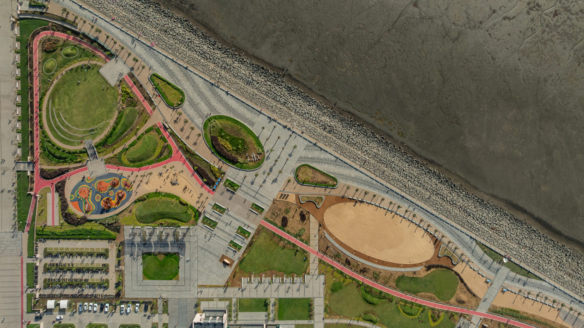
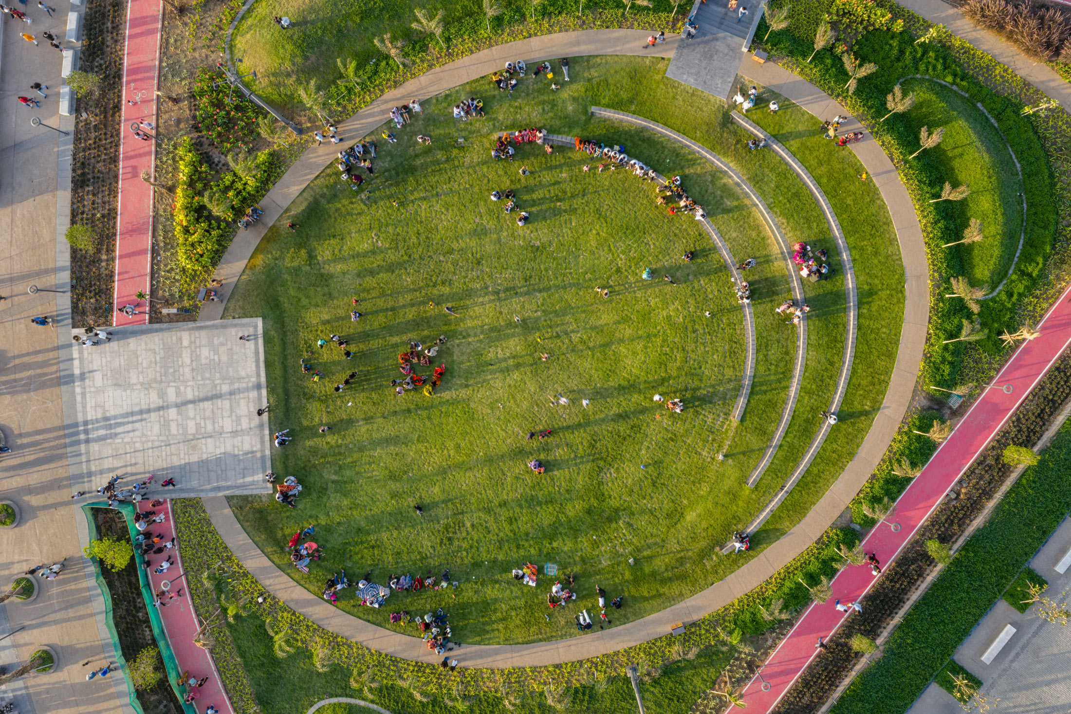
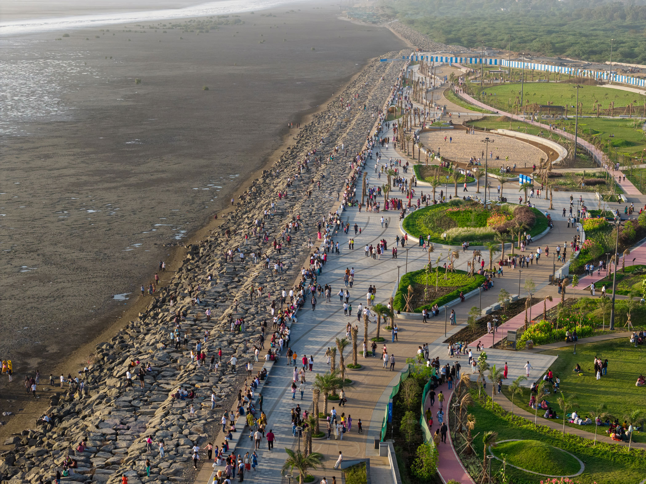
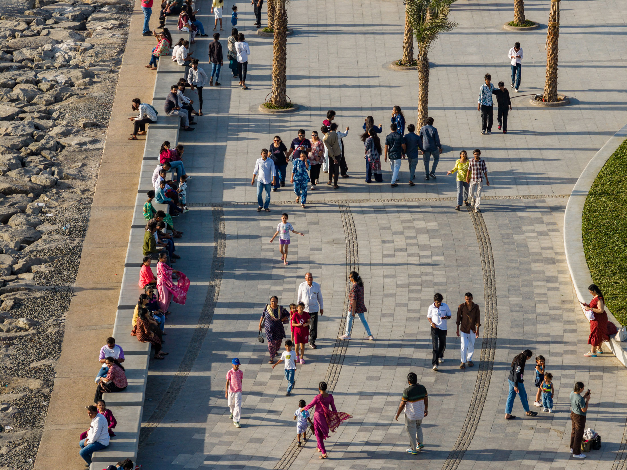
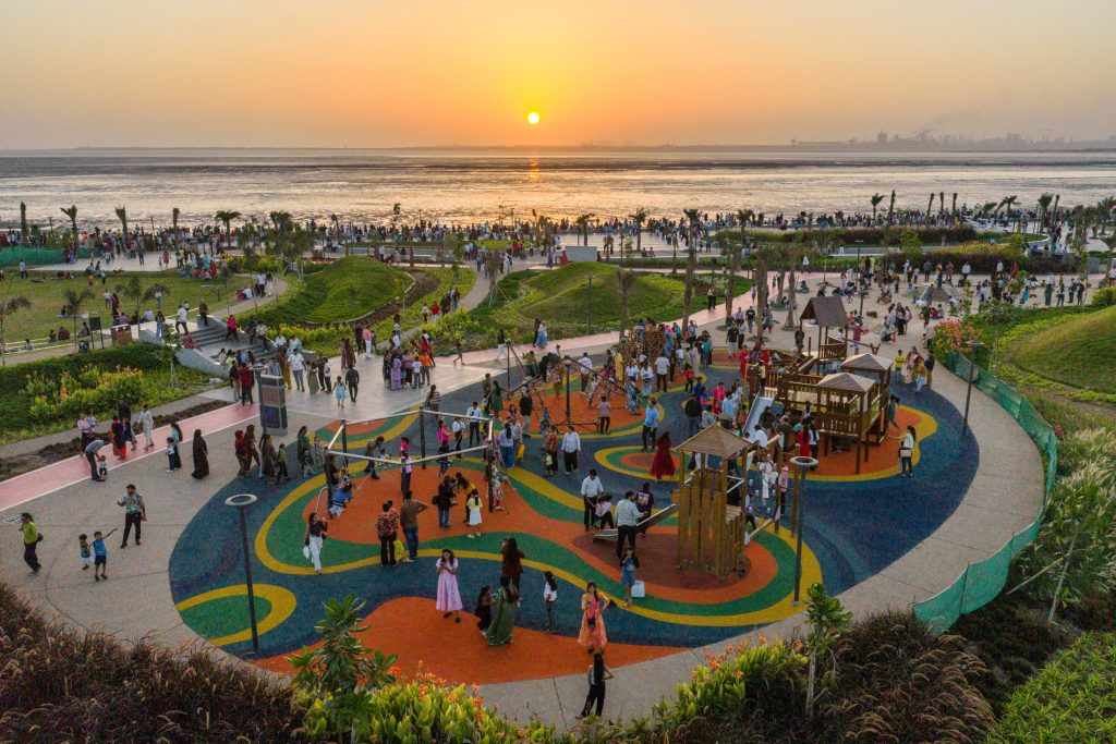
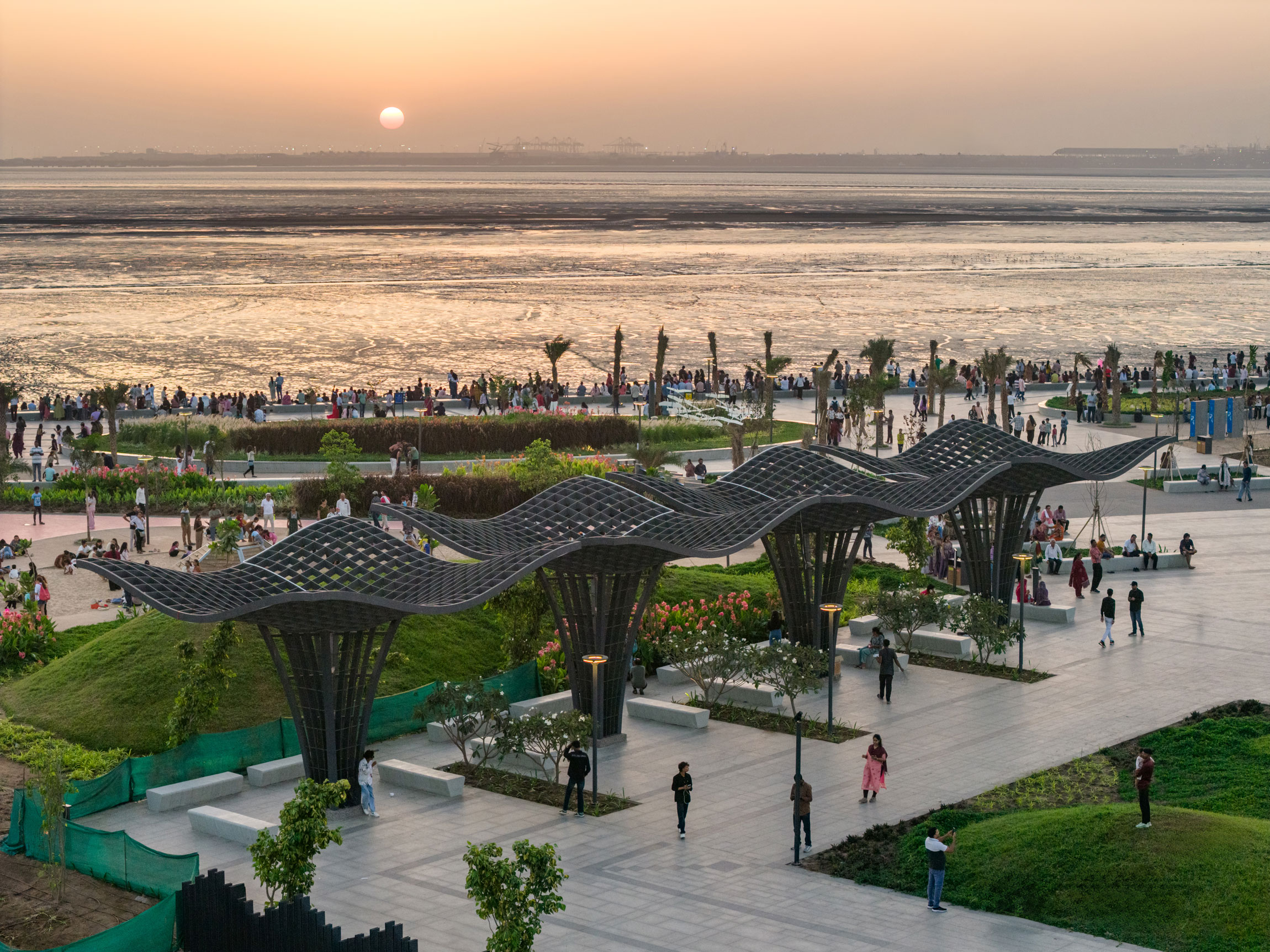
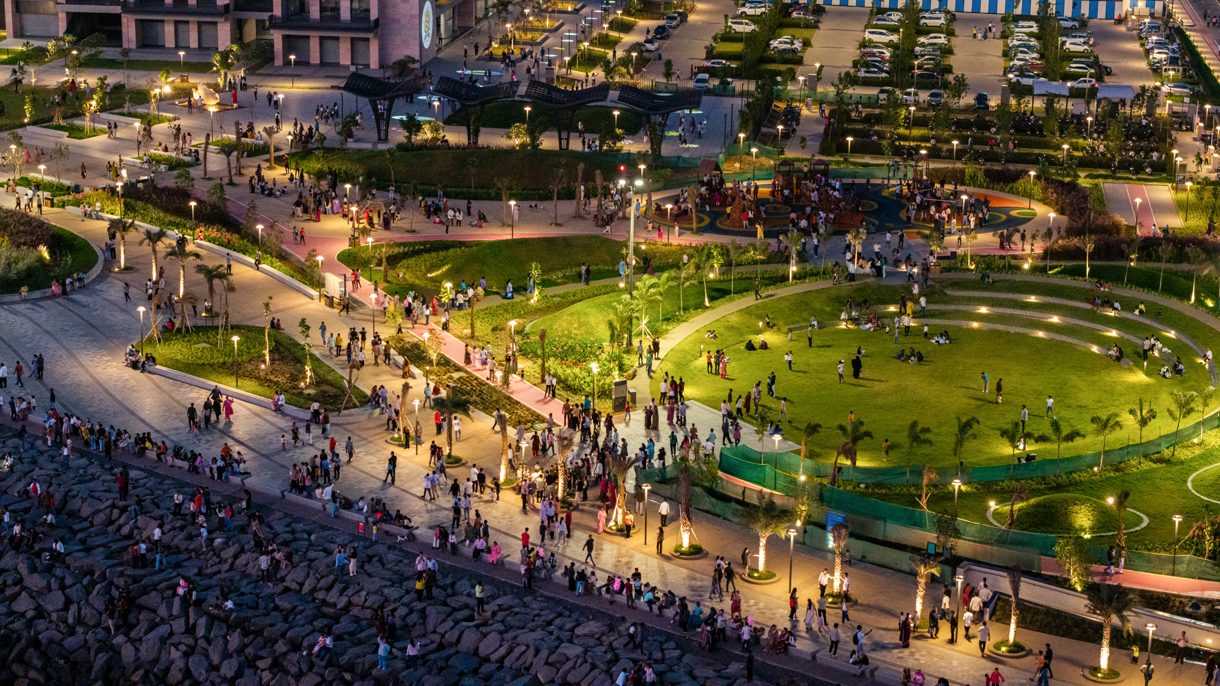
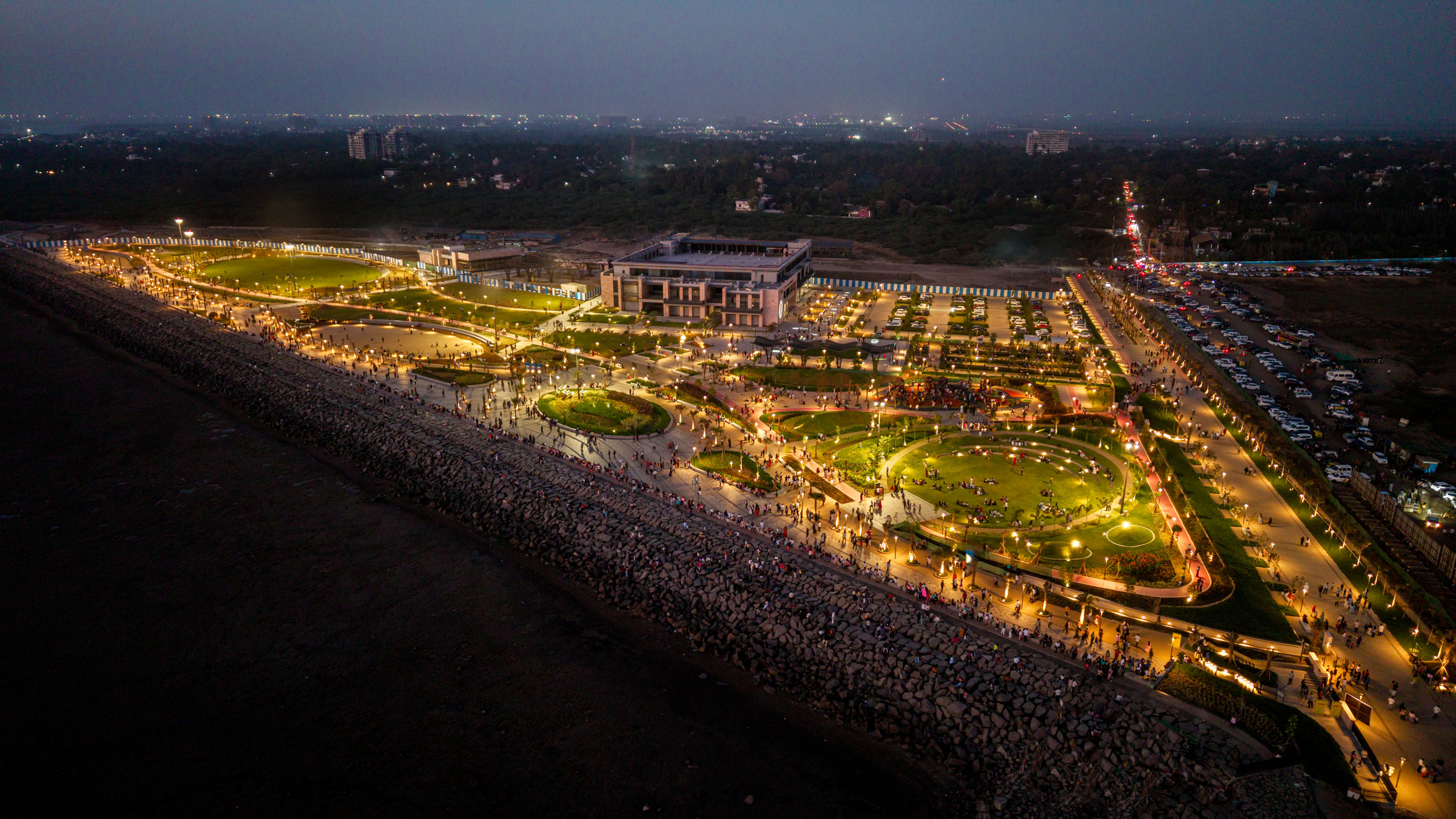
Envisioned as a recreational civic space for the city by the Surat Municipal Corporation, the city’s popular Dumas beach where the Tapi River meets the Arabian Sea was sought to be accordingly developed. The INI team, after thoroughly surveying and analysing the existing situation on and around Dumas beach, worked out a four pronged proposal to develop it as a recreation and leisure destination for citizens as well as tourists. Replete with multifarious recreational opportunities, this beach development aimed to rejuvenate the beach, realign the city towards a sustainable development course and re-connect the citizens with their natural heritage over land and sea.
Size : 252.20 Acres
Services : Feasibility Report, Masterplanning, Architecture, Engineering, Surveys, DPR Report, Environmental and Bid Management, Sustainability
Accolade: World Landscape Architecture (WLA) Awards 2026
Share ►
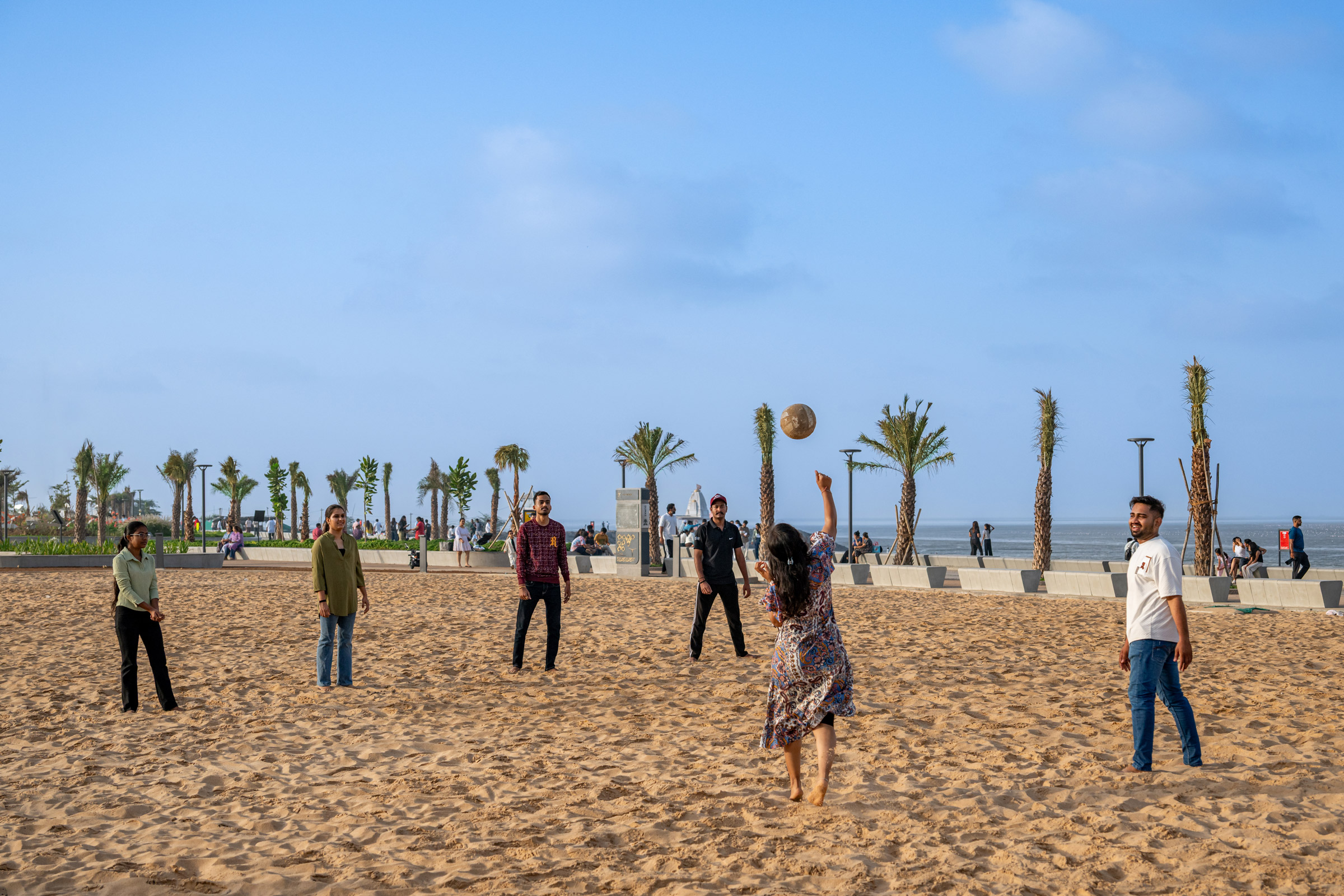
The site area under consideration totalling to more than 10,00,000 sq km stretched out along the bending water edge suffered from poor accessibility and amenities and is also plagued massive tidal variations. The proposed design sought to create opportunities for ecotourism to encourage the conservation of ecological wealth like the mangroves and mud flats, take advantage of the proximal travel network links including the upcoming international airport to attract locals as well as tourists with a range of recreational opportunities, socio-cultural spaces and water-based activities. In order to achieve this, the master plan included buildings and a built environment, roads and other infrastructure, landscaping with soft as well as hardscaped surfaces and water features. The INI team also conducted stakeholder consultation, planned the appropriate integration of the coastal regulation zone (CRZ) guidelines and drafted the proposal for acquisition of critical land by the SMC.
Zoning Guided by Context-Appropriate Opportunities
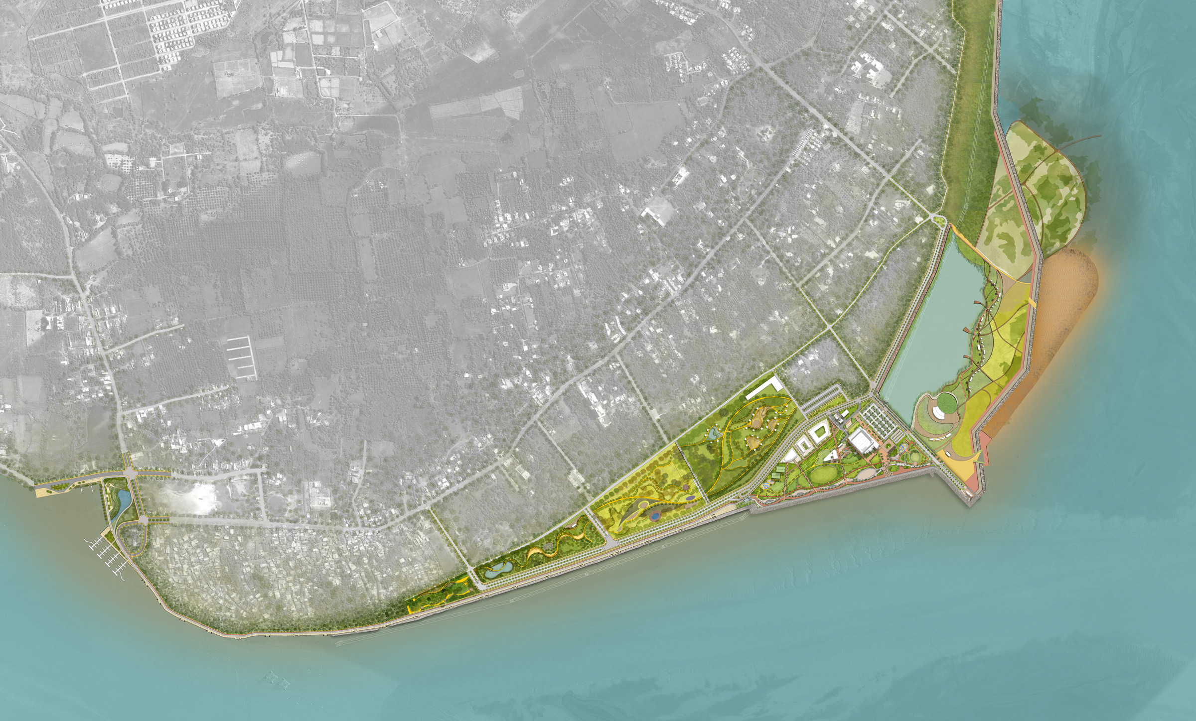
The master plan for the entire area was resolved in four zones in accordance with opportunities offered by the
surrounding context. The Dariya Ganesh Temple is a religious destination built at the end of a singular road
projecting into the sea marks the point where the shore-line bends forming beaches in two directions, a
northward and an eastward stretch. This Temple road is widened and extended inland to create an access to
the beach development connecting from the main city. The parcel of land (Zone 1) immediately north of this
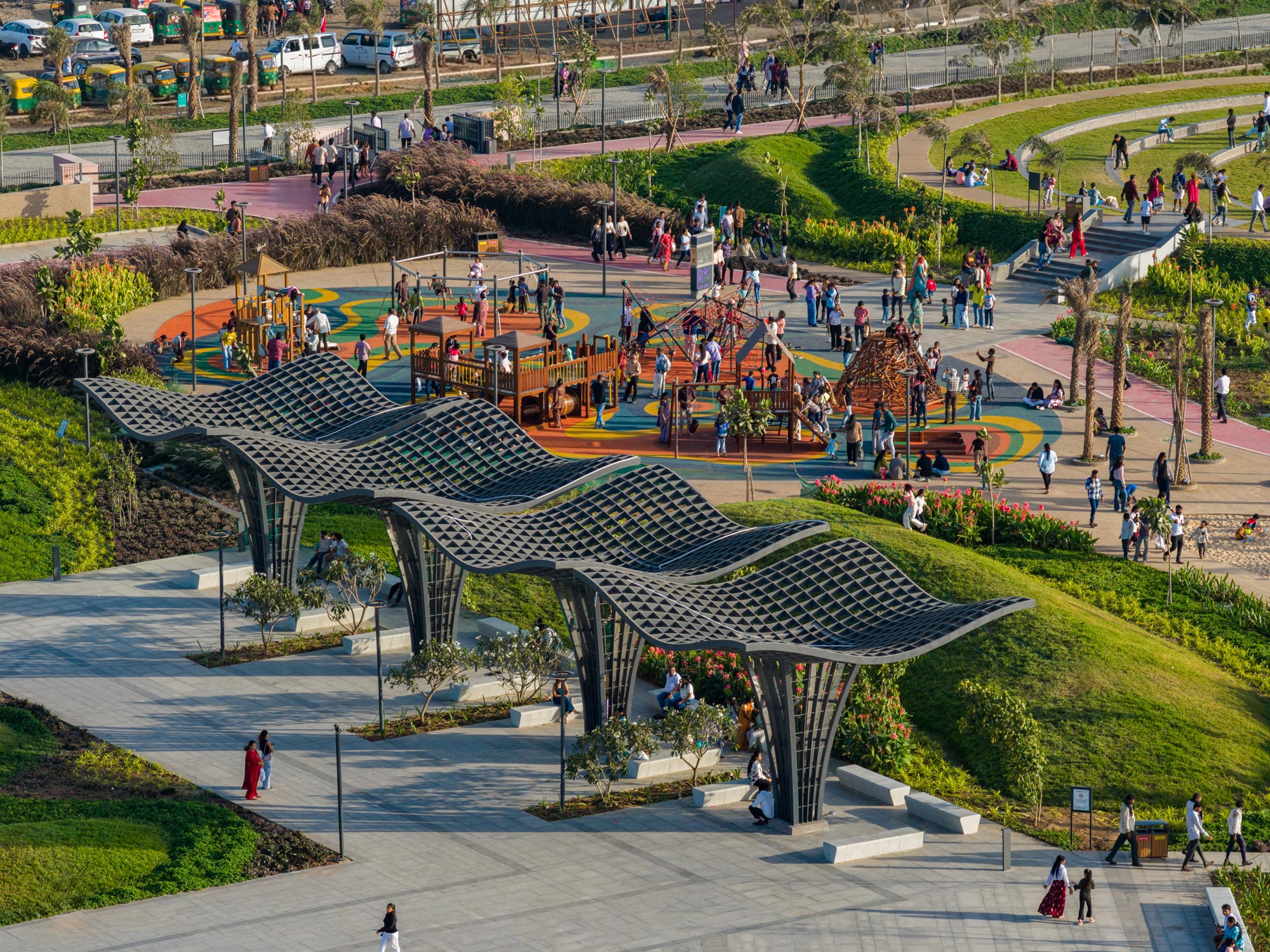
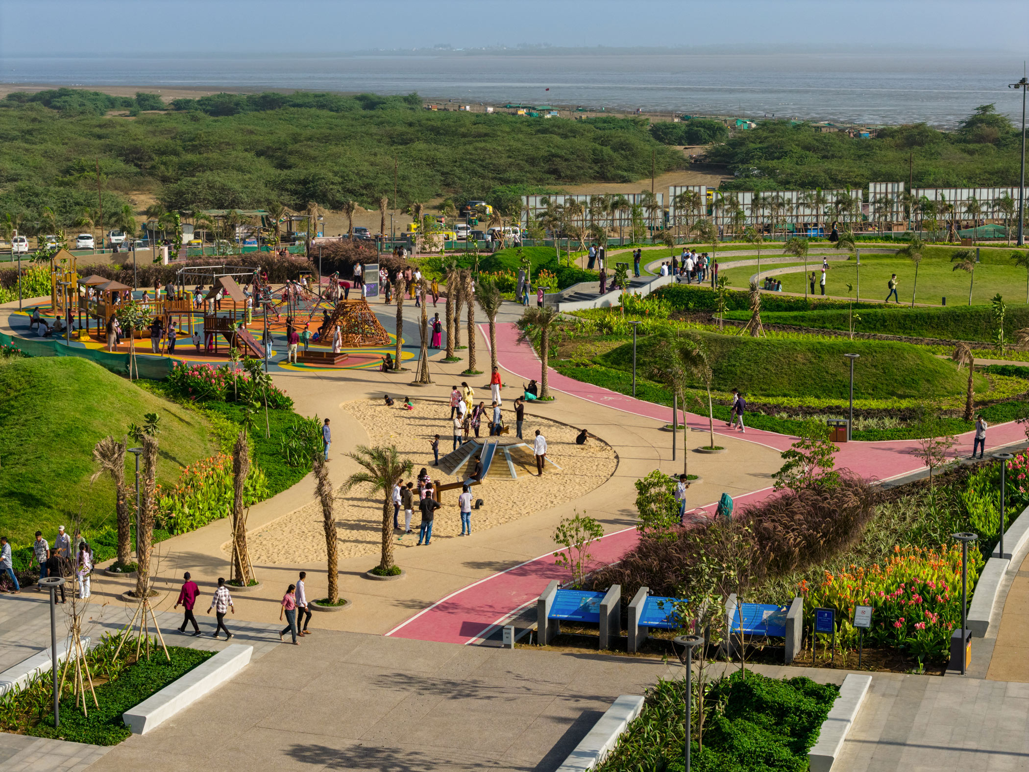
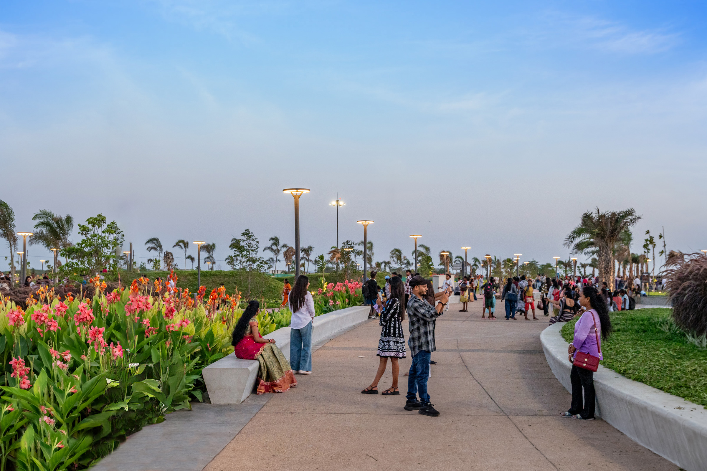
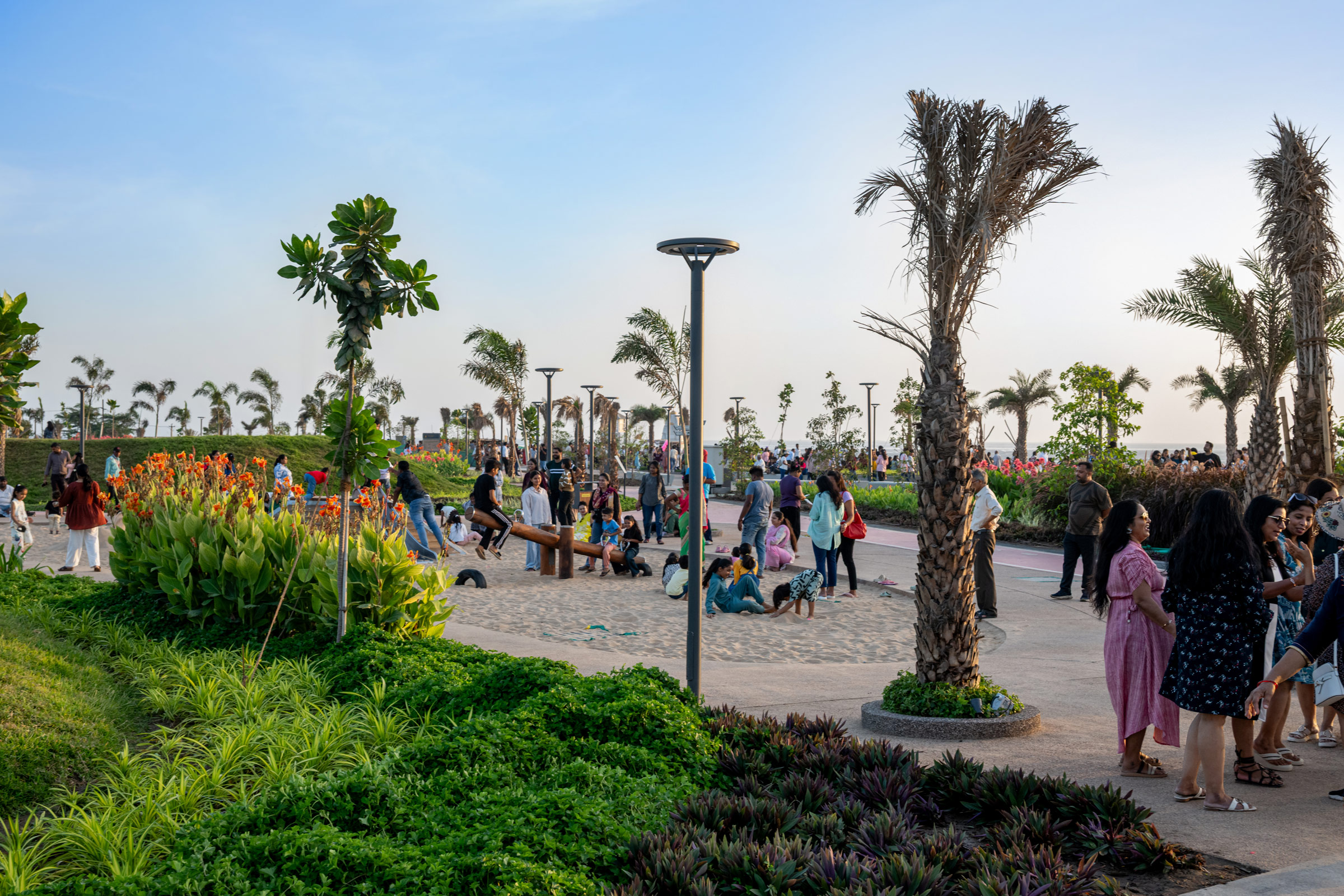
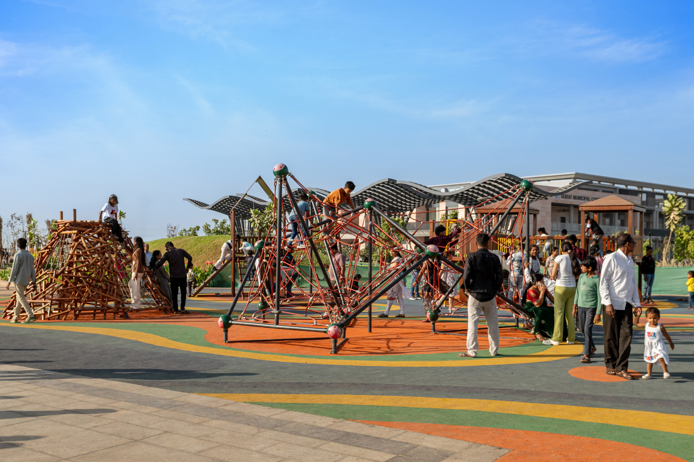
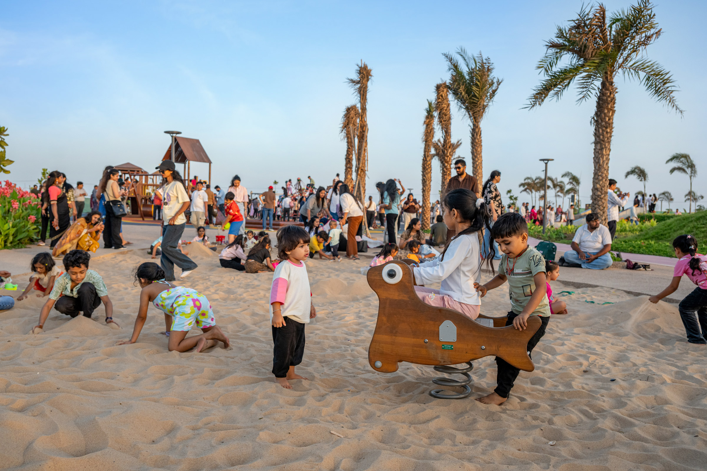
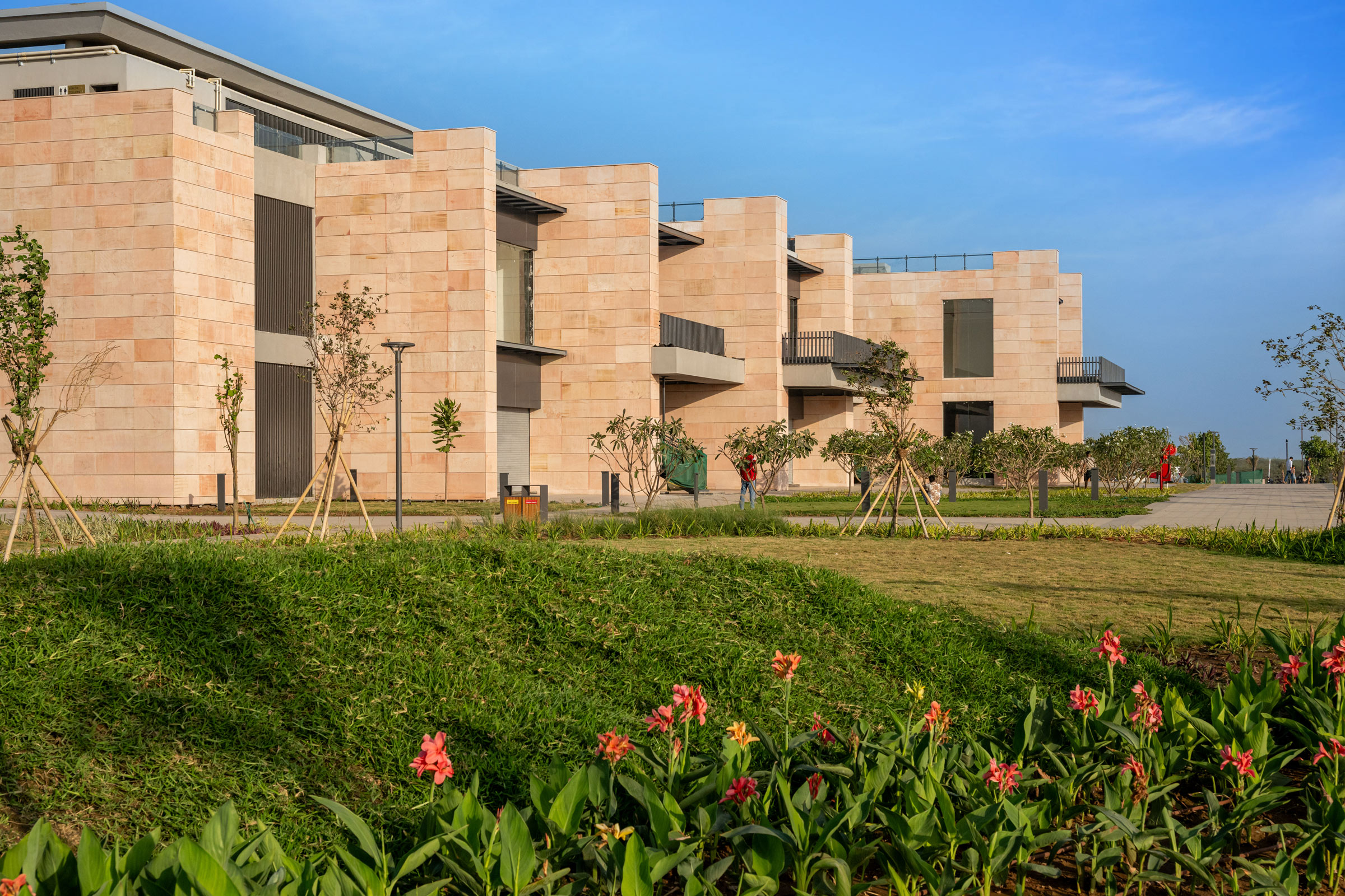
road has been developed as an urban hub with a plethora of gardens, plazas and buildings hosting recreational
and tourism activities. Further north (zone 3) is the forest and ecotourism zone with wellness facilities, and still
further beyond Goras Gamtal, around Dumas Port (zone 4) is the boat and yacht club with board walks and
cycling and walking trails lining the entire shoreline. The stretch immediately east of the Dariya Ganesh Temple
road is an eco-sensitive zone with a swamp and mangroves. This has been made into a facilitated nature
camping site for locals as well as tourists.
Design Aiming for Minimal Intervention & Maximum Resilience
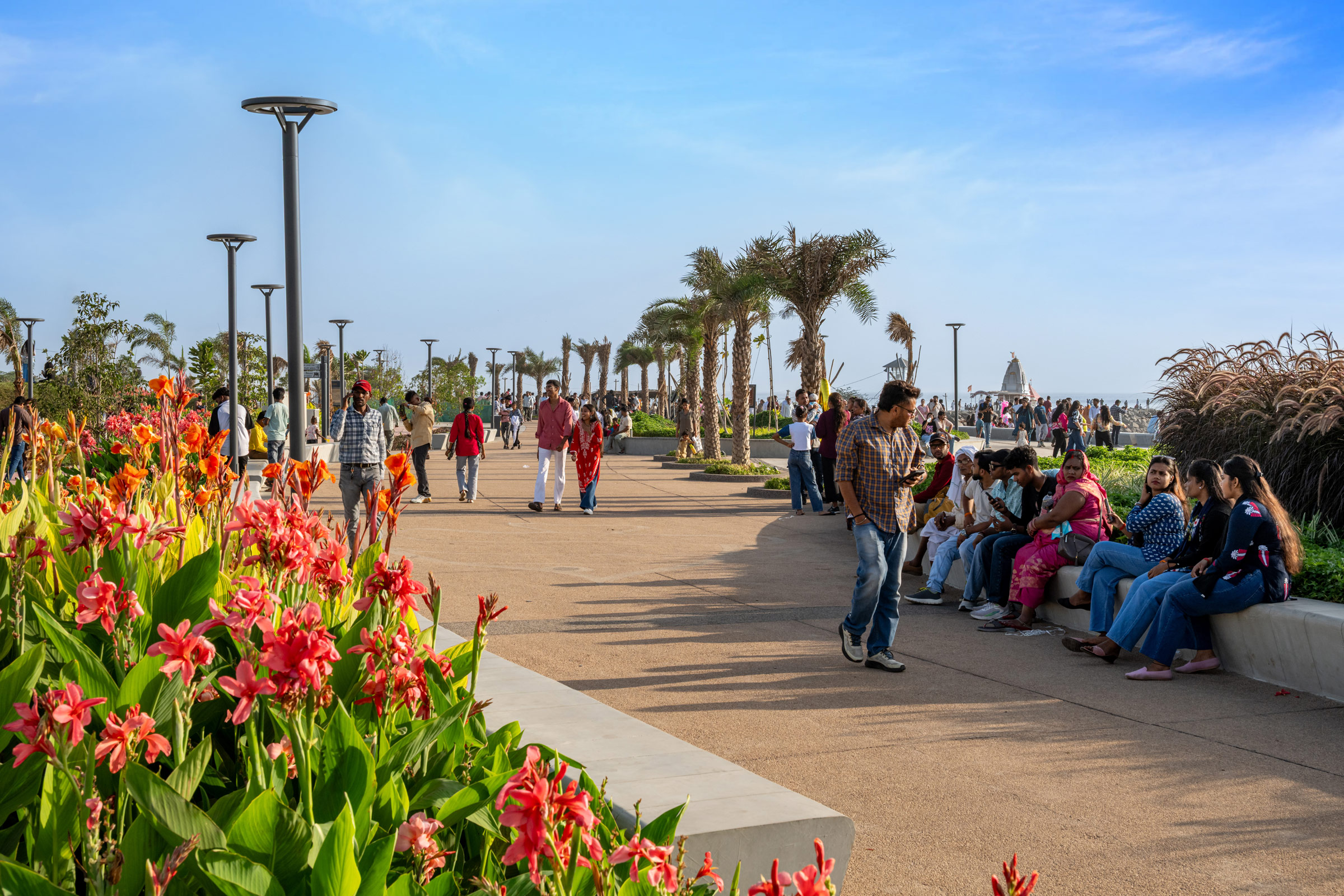
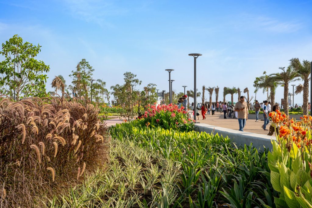
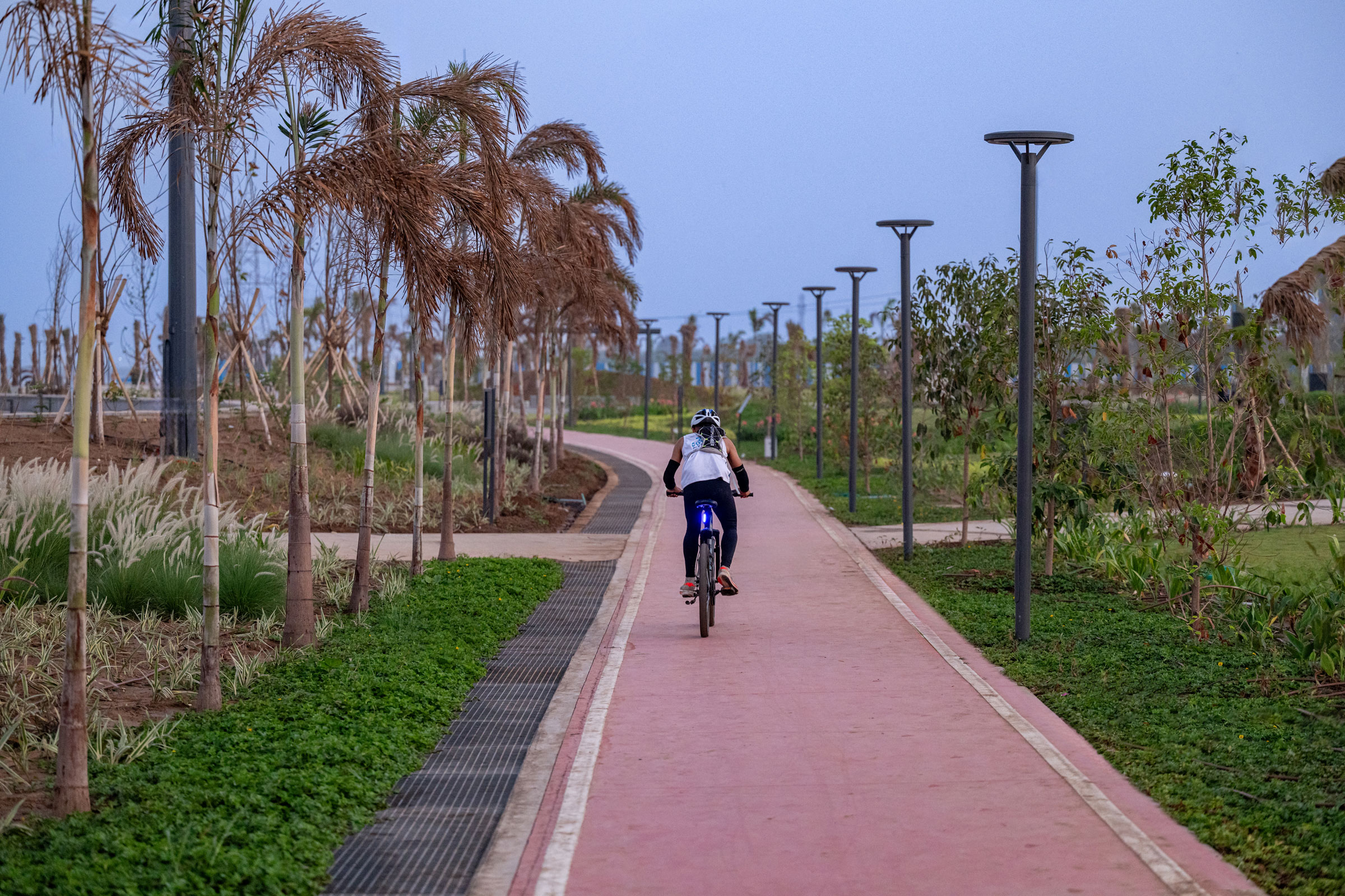
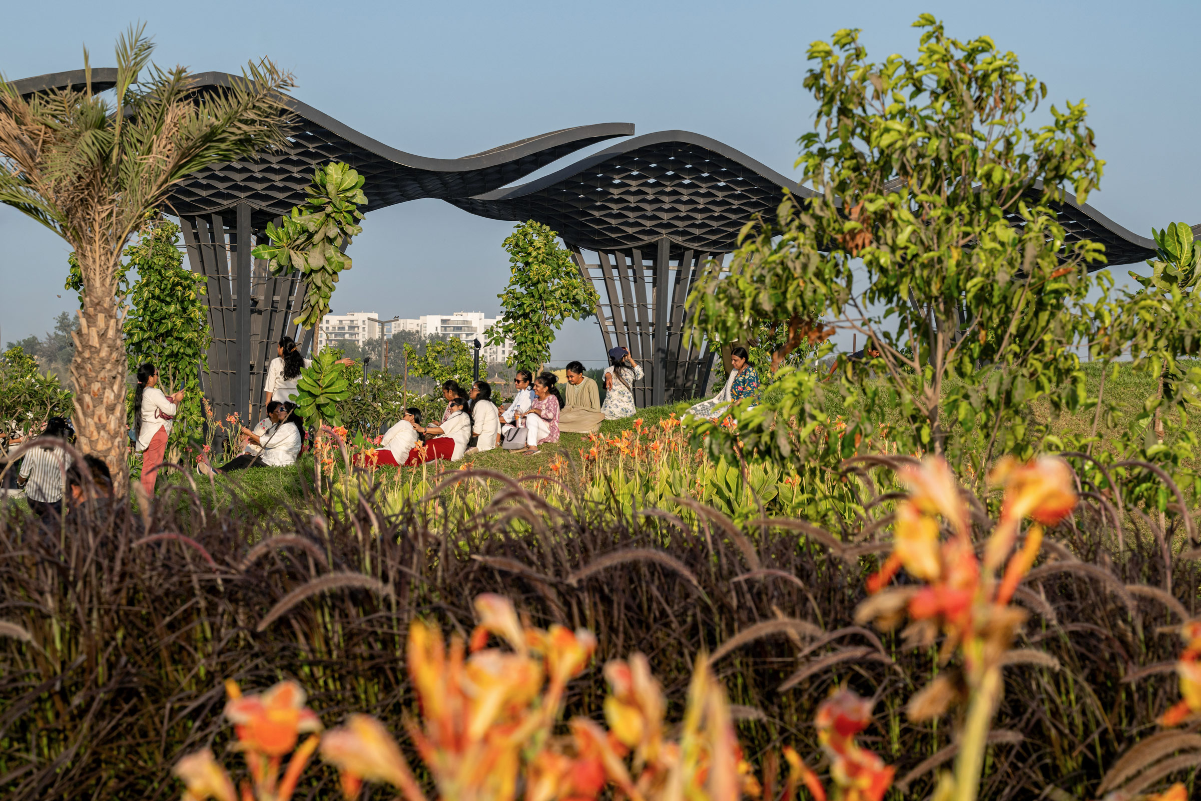
The design for this urban rejuvenation project in a largely pristine ecosystem focusses on achieving its objective through minimally invasive strategies and devices in a sustainable manner. To the greatest extent possible, the design relies on natural and renewable materials, woven with bamboo trails, board walks, nature trails, sensory trails, tents, cottages, plazas, green and water features in zone 1, 3 and 4. Even the 35 m wide stretch of unbuildable land under the 2,1 km long high tension line cutting
through the urban hub has been assimilated into the
landscape, covered by walking, cycling and E-vehicle
tracks.
"Integrating Land & Sea, City & Nature for Perpetual Sustainable Development"
Related Projects
"Integrating Land & Sea, City & Nature for Perpetual Sustainable Development"
